|
The normals for NCEI and those for PRISM are calculated using different methodologies. PRISM normals are "modeled" normals. PRISM uses all available data from a variety of networks, heavily quality controlled. This data is then ingested into the PRISM (Parameter elevation Regression on Independent Slopes Model) statistical mapping system. PRISM produces gridded values across the United States. The "normal" PRISM precipitation for your station is the modeled normal for a grid point closest to your location. PRISM expects to begin releasing the new the 1991-2020 normals sometime this summer, starting with precipitation.
The NCEI normals are calculated only for stations with data. However, NCEI is planning to release gridded normals later in 2021. An excellent description of the PRISM methodology can be found at this link: https://climatedataguide.ucar.edu/climate-data/prism-high-resolution-spatial-climate-data-united-states-maxmin-temp-dewpoint Much more data and information is available on the PRISM Web Site. CoCoRaHS observers have access to the precipitation normals generated by PRISM through the PRISM Portal page, which can be accessed through the My Account menu option. You will find it at the bottom of the page. 
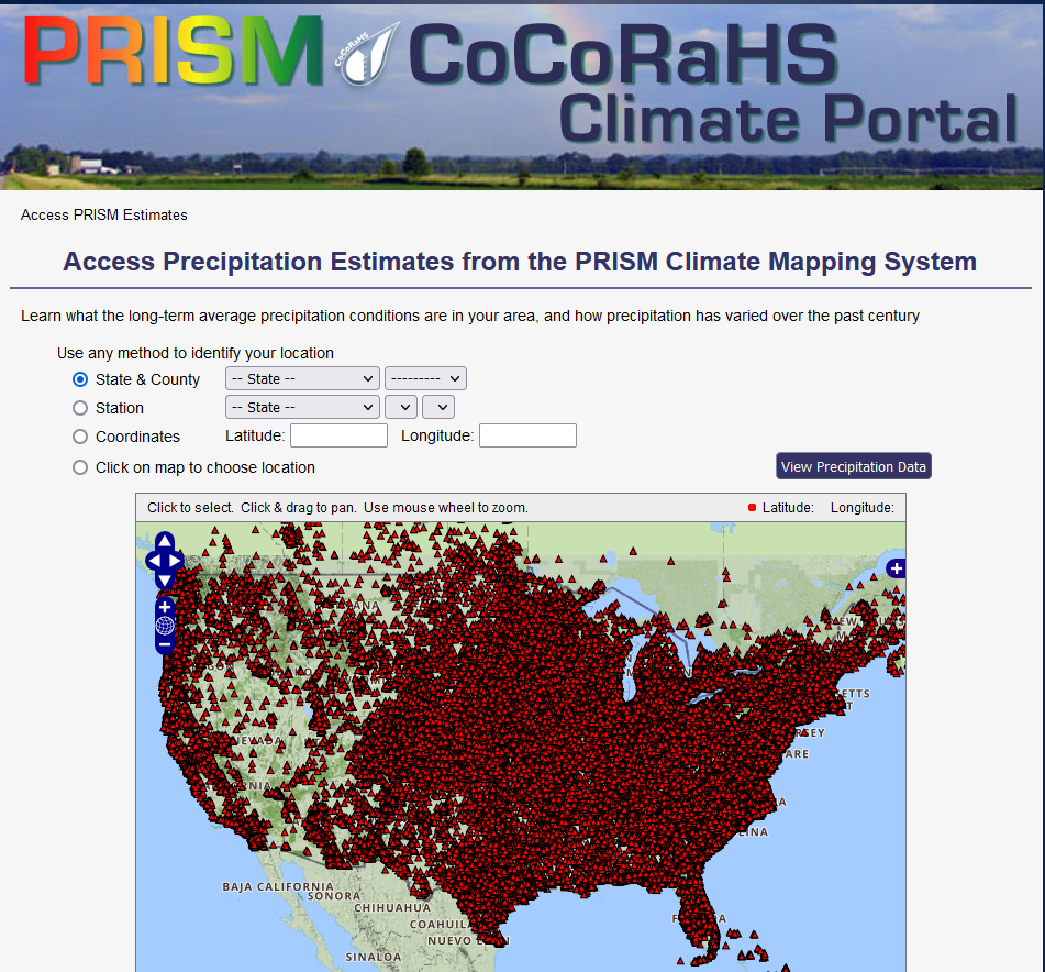
The PRISM Portal link above will take you to the page below, where you can access the PRISM data.
|